Demolishment on Well Farm Road
Introduction
The photograph on this page of Demolishment on Well Farm Road by David Anstiss as part of the Geograph project.
The Geograph project started in 2005 with the aim of publishing, organising and preserving representative images for every square kilometre of Great Britain, Ireland and the Isle of Man.

There are currently over 7.5m images from over 14,400 individuals and you can help contribute to the project by visiting https://www.geograph.org.uk
Demolishment on Well Farm Road
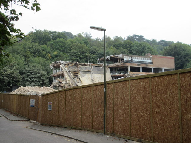
Image: © David Anstiss Taken: 6 Sep 2014
Whyteleaf House is currently being demolished. Beyond the trees in the background is a railway line between London and Caterham.
Images are licensed for reuse under creativecommons.org/licenses/by-sa/2.0
Image Location
Latitude
51.301939
Longitude
-0.07375