Castleman Way, Ringwood
Introduction
The photograph on this page of Castleman Way, Ringwood by mike smith as part of the Geograph project.
The Geograph project started in 2005 with the aim of publishing, organising and preserving representative images for every square kilometre of Great Britain, Ireland and the Isle of Man.

There are currently over 7.5m images from over 14,400 individuals and you can help contribute to the project by visiting https://www.geograph.org.uk
Castleman Way, Ringwood
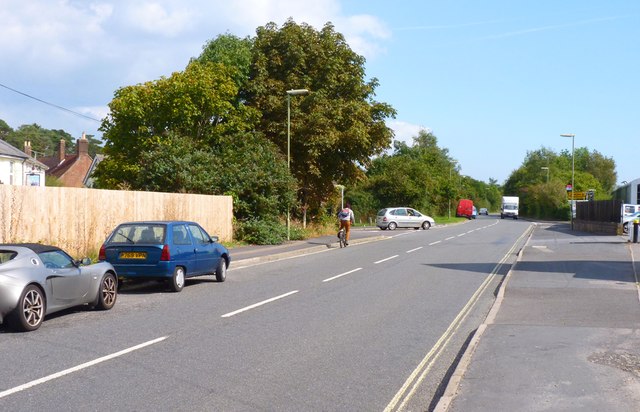
Image: © mike smith Taken: 12 Sep 2014
This road has been built on the trackbed of a railway which had opened in 1847 but was closed in 1966. It was promoted by Charles Castleman, a Wimborne solicitor, and the winding route from Brockenhurst to Poole Junction soon became known as Castleman’s Corkscrew. The road name commemorates Charles Castleman.
Images are licensed for reuse under creativecommons.org/licenses/by-sa/2.0
Image Location
Latitude
50.841989
Longitude
-1.785773