Southchurch Drive near Whitegate Vale
Introduction
The photograph on this page of Southchurch Drive near Whitegate Vale by Alan Murray-Rust as part of the Geograph project.
The Geograph project started in 2005 with the aim of publishing, organising and preserving representative images for every square kilometre of Great Britain, Ireland and the Isle of Man.

There are currently over 7.5m images from over 14,400 individuals and you can help contribute to the project by visiting https://www.geograph.org.uk
Southchurch Drive near Whitegate Vale
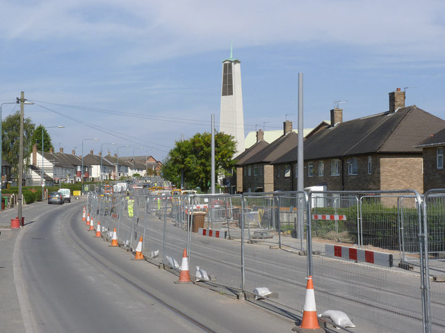
Image: © Alan Murray-Rust Taken: 8 Sep 2014
The fence separates the access route to Whitegate Vale from pure residents' access on the far side of the road, where there is still kerbing work in progress.
Images are licensed for reuse under creativecommons.org/licenses/by-sa/2.0
Image Location
Latitude
52.899262
Longitude
-1.18025