Station Row, Lluest
Introduction
The photograph on this page of Station Row, Lluest by Jaggery as part of the Geograph project.
The Geograph project started in 2005 with the aim of publishing, organising and preserving representative images for every square kilometre of Great Britain, Ireland and the Isle of Man.

There are currently over 7.5m images from over 14,400 individuals and you can help contribute to the project by visiting https://www.geograph.org.uk
Station Row, Lluest
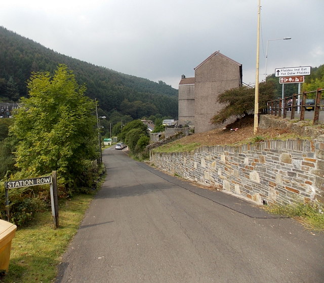
Image: © Jaggery Taken: 6 Sep 2014
Viewed from the corner of the A4064, the main road through Lluest. This used to be the way to Pontyrhyl railway station, where passenger services ended in 1953. The railway track along the Garw Valley is still in place between Brynmenyn and Pontycymer.
Images are licensed for reuse under creativecommons.org/licenses/by-sa/2.0
Image Location
Latitude
51.590932
Longitude
-3.578598