Hengrove Recreation Ground
Introduction
The photograph on this page of Hengrove Recreation Ground by Marathon as part of the Geograph project.
The Geograph project started in 2005 with the aim of publishing, organising and preserving representative images for every square kilometre of Great Britain, Ireland and the Isle of Man.

There are currently over 7.5m images from over 14,400 individuals and you can help contribute to the project by visiting https://www.geograph.org.uk
Hengrove Recreation Ground
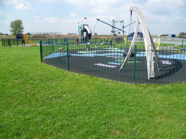
Image: © Marathon Taken: 10 Sep 2014
The play equipment certainly brightens up the otherwise rather flat Hengrove Recreation Ground. The recreation ground takes its name from the nearby Hengrove Farm - see also http://www.geograph.org.uk/photo/4159766
Images are licensed for reuse under creativecommons.org/licenses/by-sa/2.0
Image Location


Leaflet Map data © OpenStreetMap
Latitude
51.437605
Longitude
-0.481415