Site for social housing, Crumlin Road, Belfast (September 2014)
Introduction
The photograph on this page of Site for social housing, Crumlin Road, Belfast (September 2014) by Albert Bridge as part of the Geograph project.
The Geograph project started in 2005 with the aim of publishing, organising and preserving representative images for every square kilometre of Great Britain, Ireland and the Isle of Man.

There are currently over 7.5m images from over 14,400 individuals and you can help contribute to the project by visiting https://www.geograph.org.uk
Site for social housing, Crumlin Road, Belfast (September 2014)
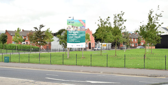
Image: © Albert Bridge Taken: 10 Sep 2014
Vacant ground (once numbered, I think, 63-73) at the corner of the Crumlin Road (foreground) and Cliftonpark Avenue. The sign advises that it's the site for “High quality homes for the Lower Oldpark”. This photograph appears as a matter of geographical and historical record only. I have no connection with the Clanmill Housing Association.
Images are licensed for reuse under creativecommons.org/licenses/by-sa/2.0
Image Location
Latitude
54.60944
Longitude
-5.945247