Llwybr Ffarm Blaenau Mawr Farm Path
Introduction
The photograph on this page of Llwybr Ffarm Blaenau Mawr Farm Path by Alan Richards as part of the Geograph project.
The Geograph project started in 2005 with the aim of publishing, organising and preserving representative images for every square kilometre of Great Britain, Ireland and the Isle of Man.

There are currently over 7.5m images from over 14,400 individuals and you can help contribute to the project by visiting https://www.geograph.org.uk
Llwybr Ffarm Blaenau Mawr Farm Path
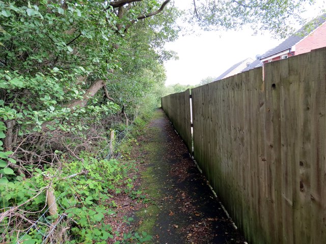
Image: © Alan Richards Taken: 10 Sep 2014
Llwybr cyhoeddus yn arwain i gyfeiriad Ffarm Blaenau Mawr. Mae ystad o dai modern bellach yn ffinio rhan o'r llwybr. A public footpath heading in the direction of Blaenau Mawr Farm (trans. uplands). A modern estate now borders a section of the path.
Images are licensed for reuse under creativecommons.org/licenses/by-sa/2.0
Image Location
Latitude
51.79214
Longitude
-4.047029