Main road through Lluest
Introduction
The photograph on this page of Main road through Lluest by Jaggery as part of the Geograph project.
The Geograph project started in 2005 with the aim of publishing, organising and preserving representative images for every square kilometre of Great Britain, Ireland and the Isle of Man.

There are currently over 7.5m images from over 14,400 individuals and you can help contribute to the project by visiting https://www.geograph.org.uk
Main road through Lluest
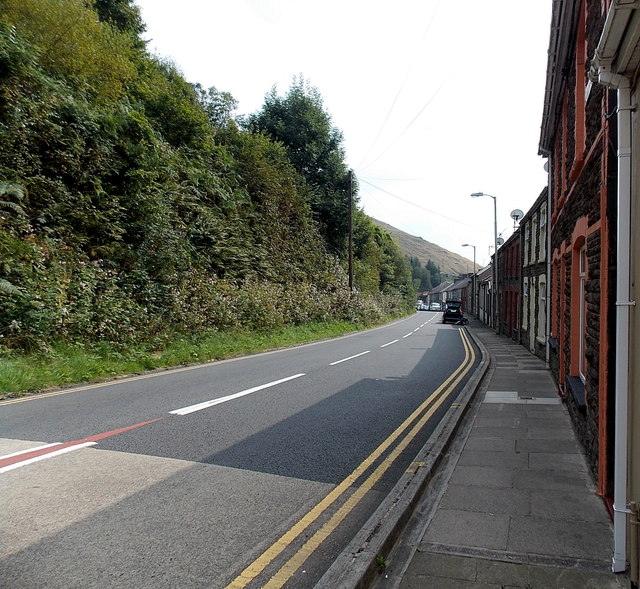
Image: © Jaggery Taken: 6 Sep 2014
The A4064 is the main road above the Garw Valley, from Blaengarw in the north to the A4065 junction in Abergarw north of Bridgend.
Images are licensed for reuse under creativecommons.org/licenses/by-sa/2.0
Image Location
Latitude
51.59218
Longitude
-3.579363