Buncton Lane
Introduction
The photograph on this page of Buncton Lane by Simon Carey as part of the Geograph project.
The Geograph project started in 2005 with the aim of publishing, organising and preserving representative images for every square kilometre of Great Britain, Ireland and the Isle of Man.

There are currently over 7.5m images from over 14,400 individuals and you can help contribute to the project by visiting https://www.geograph.org.uk
Buncton Lane
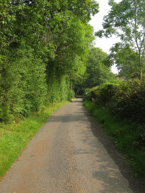
Image: © Simon Carey Taken: 7 Sep 2014
Narrow country lane linking Bolney Road, the A272, in the south, to Broxmead Lane in the north. This section runs past Highlands Wood on the left. A continuation of Stairbridge Lane, Pookbourne Lane and Langton Lane therefore in all probability a very old drove road connecting the estate around the foot of the South Downs and the woodland pastures of the High Weald.
Images are licensed for reuse under creativecommons.org/licenses/by-sa/2.0
Image Location
Latitude
50.993427
Longitude
-0.188727