Footbridge, Bolney Wood
Introduction
The photograph on this page of Footbridge, Bolney Wood by Simon Carey as part of the Geograph project.
The Geograph project started in 2005 with the aim of publishing, organising and preserving representative images for every square kilometre of Great Britain, Ireland and the Isle of Man.

There are currently over 7.5m images from over 14,400 individuals and you can help contribute to the project by visiting https://www.geograph.org.uk
Footbridge, Bolney Wood
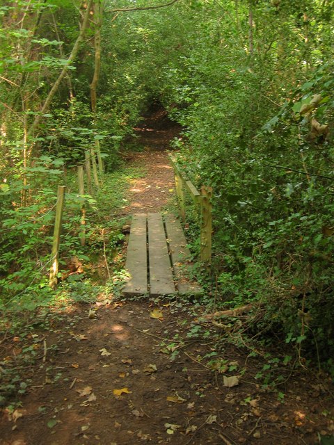
Image: © Simon Carey Taken: 7 Sep 2014
Taking the High Weald Landscape Trail over an unnamed stream as it runs between Bolney and Buncton Lane.
Images are licensed for reuse under creativecommons.org/licenses/by-sa/2.0
Image Location
Latitude
50.994793
Longitude
-0.195657