St Just Community Centre
Introduction
The photograph on this page of St Just Community Centre by John M as part of the Geograph project.
The Geograph project started in 2005 with the aim of publishing, organising and preserving representative images for every square kilometre of Great Britain, Ireland and the Isle of Man.

There are currently over 7.5m images from over 14,400 individuals and you can help contribute to the project by visiting https://www.geograph.org.uk
St Just Community Centre
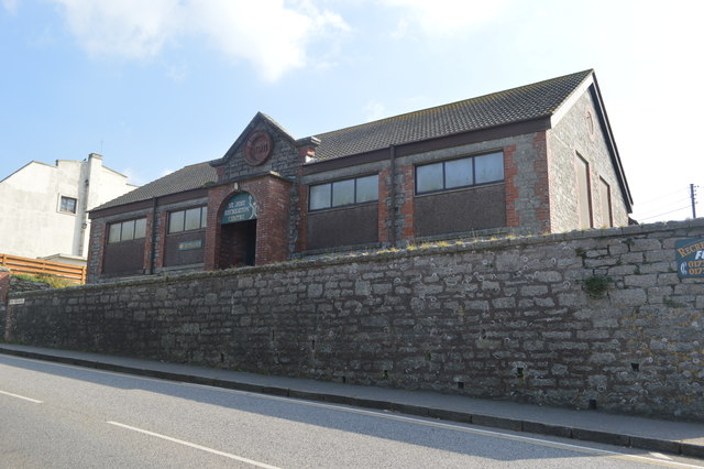
Image: © John M Taken: 9 Sep 2014
The newly formed county Territorial Association adopted a similar design for a number of drill halls built in 1911. (Camelford, Hayle)
Images are licensed for reuse under creativecommons.org/licenses/by-sa/2.0
Image Location
Latitude
50.121813
Longitude
-5.678778