Standing stone at Clomendy [2]
Introduction
The photograph on this page of Standing stone at Clomendy [2] by Gordon Hatton as part of the Geograph project.
The Geograph project started in 2005 with the aim of publishing, organising and preserving representative images for every square kilometre of Great Britain, Ireland and the Isle of Man.

There are currently over 7.5m images from over 14,400 individuals and you can help contribute to the project by visiting https://www.geograph.org.uk
Standing stone at Clomendy [2]
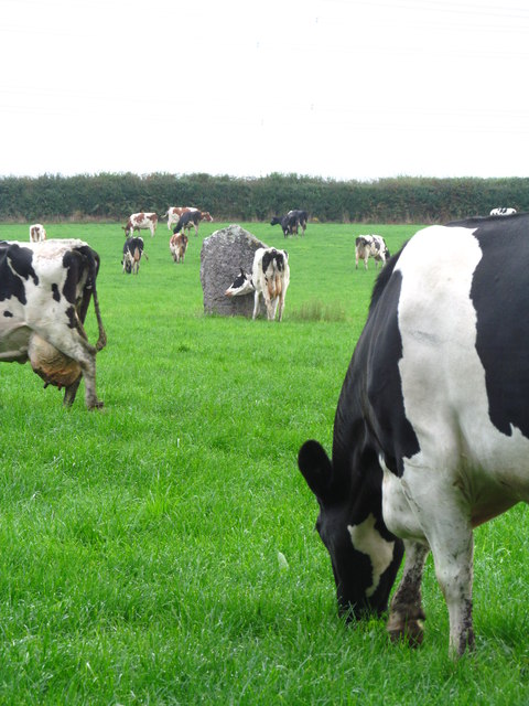
Image: © Gordon Hatton Taken: 3 Sep 2014
In this view, the cattle help to give a sense of scale to the standing stone. [on private land - access by arrangement only]
Images are licensed for reuse under creativecommons.org/licenses/by-sa/2.0
Image Location


Leaflet Map data © OpenStreetMap
Latitude
51.808763
Longitude
-4.341547