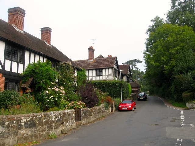
The Street, Bolney
Introduction
The photograph on this page of The Street, Bolney by Simon Carey as part of the Geograph project.
The Geograph project started in 2005 with the aim of publishing, organising and preserving representative images for every square kilometre of Great Britain, Ireland and the Isle of Man.
There are currently over 7.5m images from over 14,400 individuals and you can help contribute to the project by visiting https://www.geograph.org.uk

Image: © Simon Carey Taken: 7 Sep 2014
Looking up the village street on land that was once Bolney Common. The houses on the left are Threeways, opposite the junction with Ryecroft Road and Southdown House. Judging by old OS maps the former seems to be a rebuild which retains the old sandstone wall of its previous incumbent. Out of shot to the right on the northern side of the road junction is Image

