Approaching the junction at Ballinasack Road
Introduction
The photograph on this page of Approaching the junction at Ballinasack Road by Eric Jones as part of the Geograph project.
The Geograph project started in 2005 with the aim of publishing, organising and preserving representative images for every square kilometre of Great Britain, Ireland and the Isle of Man.

There are currently over 7.5m images from over 14,400 individuals and you can help contribute to the project by visiting https://www.geograph.org.uk
Approaching the junction at Ballinasack Road
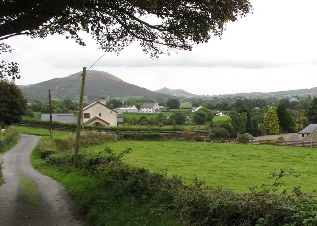
Image: © Eric Jones Taken: 2 Sep 2014
The road running right links with the Tullymacreeve Road. The one on the left - Planting Road doubles back over the northern shoulder of Cashel hill to rejoin Cashel Road.
Images are licensed for reuse under creativecommons.org/licenses/by-sa/2.0
Image Location
Latitude
54.120688
Longitude
-6.502409