Mile House Pub - development site
Introduction
The photograph on this page of Mile House Pub - development site by anthony helm as part of the Geograph project.
The Geograph project started in 2005 with the aim of publishing, organising and preserving representative images for every square kilometre of Great Britain, Ireland and the Isle of Man.

There are currently over 7.5m images from over 14,400 individuals and you can help contribute to the project by visiting https://www.geograph.org.uk
Mile House Pub - development site
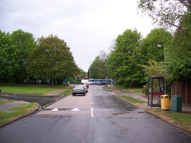
Image: © anthony helm Taken: 27 Apr 2007
Over-night the Mile House Pub on London Road, St Albans, was pulled down by developers. Whilst not a listed, this building was a valued community resource in south St Albans and was open to adults and children (as it served meals). The site is currently being developed for a number of flats, hence the blue boarding. Tree have been lost as a result of this activity.
Images are licensed for reuse under creativecommons.org/licenses/by-sa/2.0
Image Location
Latitude
51.739756
Longitude
-0.317636