Bolney Chapel Road
Introduction
The photograph on this page of Bolney Chapel Road by Simon Carey as part of the Geograph project.
The Geograph project started in 2005 with the aim of publishing, organising and preserving representative images for every square kilometre of Great Britain, Ireland and the Isle of Man.

There are currently over 7.5m images from over 14,400 individuals and you can help contribute to the project by visiting https://www.geograph.org.uk
Bolney Chapel Road
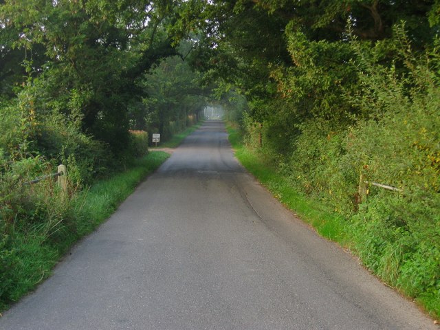
Image: © Simon Carey Taken: 7 Sep 2014
Crossing the bridge of an unnamed tributary of the eastern branch of the River Adur and entering the parish of Twineham. The road is part of an old drove road that can be traced starting at Poynings at the foot of the Downs then heading northwards through High Cross, Twineham, Twineham Green and Crosspost before reaching the wooded pastures north east of Bolney.
Images are licensed for reuse under creativecommons.org/licenses/by-sa/2.0
Image Location
Latitude
50.974744
Longitude
-0.213528