Outbuildings at Endon House
Introduction
The photograph on this page of Outbuildings at Endon House by Alan Murray-Rust as part of the Geograph project.
The Geograph project started in 2005 with the aim of publishing, organising and preserving representative images for every square kilometre of Great Britain, Ireland and the Isle of Man.

There are currently over 7.5m images from over 14,400 individuals and you can help contribute to the project by visiting https://www.geograph.org.uk
Outbuildings at Endon House
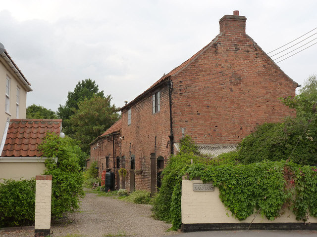
Image: © Alan Murray-Rust Taken: 3 Sep 2014
The central portion dates back to the 17th century and once formed a smithy. The nearer and farther sections are 19th century. Listed Grade II.
Images are licensed for reuse under creativecommons.org/licenses/by-sa/2.0
Image Location
Latitude
53.277064
Longitude
-0.796611