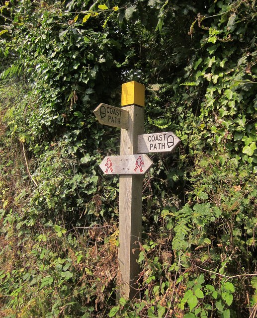
Footpath signpost on the coast path
Introduction
The photograph on this page of Footpath signpost on the coast path by Derek Harper as part of the Geograph project.
The Geograph project started in 2005 with the aim of publishing, organising and preserving representative images for every square kilometre of Great Britain, Ireland and the Isle of Man.
There are currently over 7.5m images from over 14,400 individuals and you can help contribute to the project by visiting https://www.geograph.org.uk

Image: © Derek Harper Taken: 5 Sep 2014
The coast path joins Landcombe Lane, which I think must have been the coast road until the mid-C19; the current A379 between Street and Blackpool is not shown on the first edition of the OS 1" map. What the current 1:25000 map shows, and which the signpost fails to recognise, is that the lane is used by the E9 European long distance path. http://www.traildino.com/trace/continents-Europe/countries-United_Kingdom/trails-E9 suggests that it should coincide with the SWCP, so perhaps the map hasn't quite caught up with the fact that the latter was rerouted in 2005. Landcombe Lane is shown in the two images at http://www.geograph.org.uk/search.php?i=51057315 .

