Knapps Hook Farm near Greatmoor 2
Introduction
The photograph on this page of Knapps Hook Farm near Greatmoor 2 by Andy Gryce as part of the Geograph project.
The Geograph project started in 2005 with the aim of publishing, organising and preserving representative images for every square kilometre of Great Britain, Ireland and the Isle of Man.

There are currently over 7.5m images from over 14,400 individuals and you can help contribute to the project by visiting https://www.geograph.org.uk
Knapps Hook Farm near Greatmoor 2
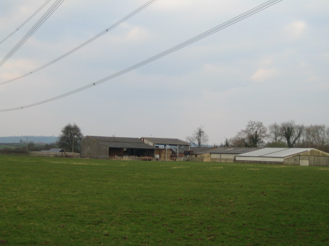
Image: © Andy Gryce Taken: 25 Mar 2007
This is the east side of Knapps Hook Farm which lies back from the C road that runs between Kingswood and the Greatmoor-Quainton road, and which is on the other side of the farm buildings.
Images are licensed for reuse under creativecommons.org/licenses/by-sa/2.0
Image Location


Leaflet Map data © OpenStreetMap
Latitude
51.874906
Longitude
-0.974139