Southeastern corner Castle Hill Cemetery
Introduction
The photograph on this page of Southeastern corner Castle Hill Cemetery by Peter Holmes as part of the Geograph project.
The Geograph project started in 2005 with the aim of publishing, organising and preserving representative images for every square kilometre of Great Britain, Ireland and the Isle of Man.

There are currently over 7.5m images from over 14,400 individuals and you can help contribute to the project by visiting https://www.geograph.org.uk
Southeastern corner Castle Hill Cemetery
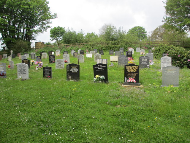
Image: © Peter Holmes Taken: 10 May 2014
Monumental Inscriptions for 720 memorials have been transcribed. The parish of Lostwithiel, is in the Deanery and Hundred of Powder.
Images are licensed for reuse under creativecommons.org/licenses/by-sa/2.0
Image Location


Leaflet Map data © OpenStreetMap
Latitude
50.402141
Longitude
-4.675675