Gloucester Buildings, Pant-y-Gog
Introduction
The photograph on this page of Gloucester Buildings, Pant-y-Gog by Jaggery as part of the Geograph project.
The Geograph project started in 2005 with the aim of publishing, organising and preserving representative images for every square kilometre of Great Britain, Ireland and the Isle of Man.

There are currently over 7.5m images from over 14,400 individuals and you can help contribute to the project by visiting https://www.geograph.org.uk
Gloucester Buildings, Pant-y-Gog
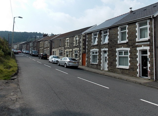
Image: © Jaggery Taken: 6 Sep 2014
Houses viewed across the A4064 Pant-y-Gog. The name sign above the door on the right shows GLOUCESTER BUILDINGS.
Images are licensed for reuse under creativecommons.org/licenses/by-sa/2.0
Image Location
Latitude
51.604465
Longitude
-3.581955