Southenay Farm from Southenay Lane
Introduction
The photograph on this page of Southenay Farm from Southenay Lane by Adam Hincks as part of the Geograph project.
The Geograph project started in 2005 with the aim of publishing, organising and preserving representative images for every square kilometre of Great Britain, Ireland and the Isle of Man.

There are currently over 7.5m images from over 14,400 individuals and you can help contribute to the project by visiting https://www.geograph.org.uk
Southenay Farm from Southenay Lane
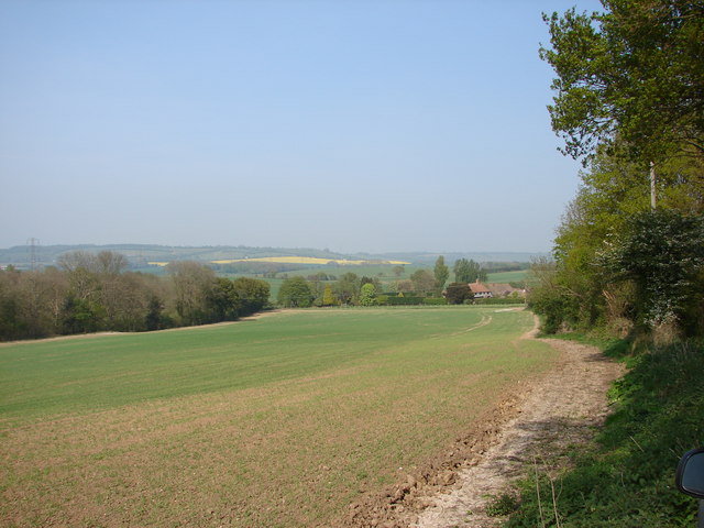
Image: © Adam Hincks Taken: 27 Apr 2007
Looking along Southenay Lane towards Southenay Farm with the ancient woodland of Coopers Wood on the left.
Images are licensed for reuse under creativecommons.org/licenses/by-sa/2.0
Image Location
Latitude
51.118051
Longitude
0.997191