Old farm buildings to the rear of Holme Farm
Introduction
The photograph on this page of Old farm buildings to the rear of Holme Farm by Carol Rose as part of the Geograph project.
The Geograph project started in 2005 with the aim of publishing, organising and preserving representative images for every square kilometre of Great Britain, Ireland and the Isle of Man.

There are currently over 7.5m images from over 14,400 individuals and you can help contribute to the project by visiting https://www.geograph.org.uk
Old farm buildings to the rear of Holme Farm
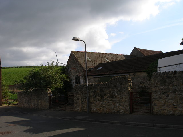
Image: © Carol Rose Taken: 25 Apr 2007
The modern road to the front leads to a small modern housing estate. The green field rises up towards the Hart bypass and a wind turbine can just be seen above it.
Images are licensed for reuse under creativecommons.org/licenses/by-sa/2.0
Image Location
Latitude
54.70648
Longitude
-1.271804