"Old Punch Bowl" public house, Crawley
Introduction
The photograph on this page of "Old Punch Bowl" public house, Crawley by Jim Osley as part of the Geograph project.
The Geograph project started in 2005 with the aim of publishing, organising and preserving representative images for every square kilometre of Great Britain, Ireland and the Isle of Man.

There are currently over 7.5m images from over 14,400 individuals and you can help contribute to the project by visiting https://www.geograph.org.uk
"Old Punch Bowl" public house, Crawley
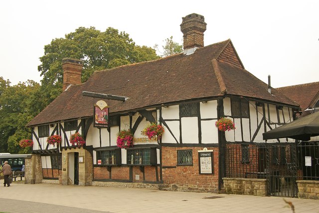
Image: © Jim Osley Taken: 5 Sep 2014
Grade II* listed building, described at this http://list.english-heritage.org.uk/resultsingle.aspx?uid=1298877. This http://en.wikipedia.org/wiki/Old_Punch_Bowl provides a comprehensive account of this early 15th century building.
Images are licensed for reuse under creativecommons.org/licenses/by-sa/2.0
Image Location
Latitude
51.116814
Longitude
-0.189408