Habblesthorpe Road
Introduction
The photograph on this page of Habblesthorpe Road by Alan Murray-Rust as part of the Geograph project.
The Geograph project started in 2005 with the aim of publishing, organising and preserving representative images for every square kilometre of Great Britain, Ireland and the Isle of Man.

There are currently over 7.5m images from over 14,400 individuals and you can help contribute to the project by visiting https://www.geograph.org.uk
Habblesthorpe Road
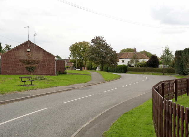
Image: © Alan Murray-Rust Taken: 3 Sep 2014
Until 1884 Habblesthorpe was a separate parish, but in that year it was merged with North Leverton to form the current parish of North Leverton with Habblesthorpe. The white house is Habblesthorpe Manor http://www.geograph.org.uk/photo/4152689 which dates back to the early 16th century.
Images are licensed for reuse under creativecommons.org/licenses/by-sa/2.0
Image Location
Latitude
53.330792
Longitude
-0.811768