Rowan Tree Farmhouse
Introduction
The photograph on this page of Rowan Tree Farmhouse by Alan Murray-Rust as part of the Geograph project.
The Geograph project started in 2005 with the aim of publishing, organising and preserving representative images for every square kilometre of Great Britain, Ireland and the Isle of Man.

There are currently over 7.5m images from over 14,400 individuals and you can help contribute to the project by visiting https://www.geograph.org.uk
Rowan Tree Farmhouse
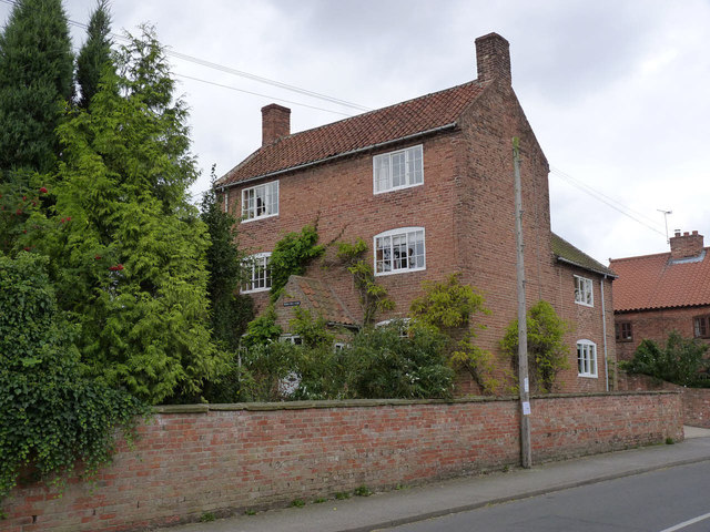
Image: © Alan Murray-Rust Taken: 3 Sep 2014
Early 19th century house of two bays and three storeys and two storey rear wing. Listed Grade II.
Images are licensed for reuse under creativecommons.org/licenses/by-sa/2.0
Image Location
Latitude
53.330281
Longitude
-0.823645