The Knapp
Introduction
The photograph on this page of The Knapp by Marilyn Peddle as part of the Geograph project.
The Geograph project started in 2005 with the aim of publishing, organising and preserving representative images for every square kilometre of Great Britain, Ireland and the Isle of Man.

There are currently over 7.5m images from over 14,400 individuals and you can help contribute to the project by visiting https://www.geograph.org.uk
The Knapp
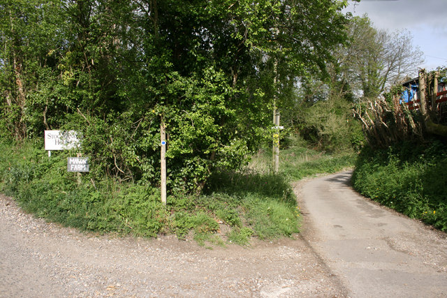
Image: © Marilyn Peddle Taken: 25 Apr 2007
The Knapp, Hilton a very narrow lane round the back of this small village and also the rough lane to Manor Farm.
Images are licensed for reuse under creativecommons.org/licenses/by-sa/2.0
Image Location
Latitude
50.827288
Longitude
-2.312449