Holditch Manor Farm and ruined church
Introduction
The photograph on this page of Holditch Manor Farm and ruined church by Ray Beer as part of the Geograph project.
The Geograph project started in 2005 with the aim of publishing, organising and preserving representative images for every square kilometre of Great Britain, Ireland and the Isle of Man.

There are currently over 7.5m images from over 14,400 individuals and you can help contribute to the project by visiting https://www.geograph.org.uk
Holditch Manor Farm and ruined church
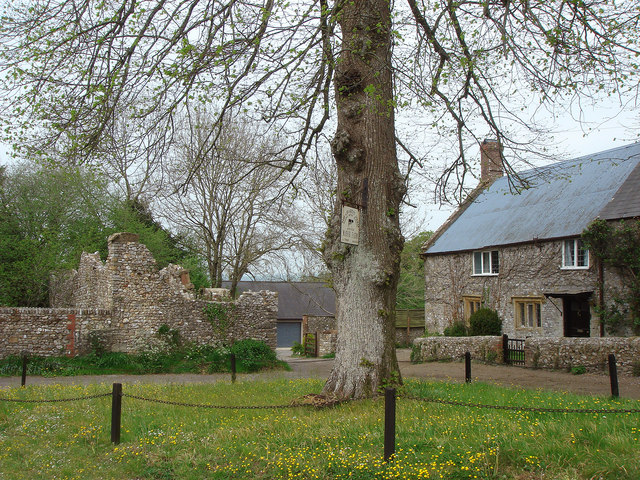
Image: © Ray Beer Taken: 27 Apr 2007
The farm house is on the right, and the ruined church is on the left. The church was destroyed by fire in the 1920s
Images are licensed for reuse under creativecommons.org/licenses/by-sa/2.0
Image Location
Latitude
50.820647
Longitude
-2.933067