The embankment of the South Greenford to Greenford railway line
Introduction
The photograph on this page of The embankment of the South Greenford to Greenford railway line by Marathon as part of the Geograph project.
The Geograph project started in 2005 with the aim of publishing, organising and preserving representative images for every square kilometre of Great Britain, Ireland and the Isle of Man.

There are currently over 7.5m images from over 14,400 individuals and you can help contribute to the project by visiting https://www.geograph.org.uk
The embankment of the South Greenford to Greenford railway line
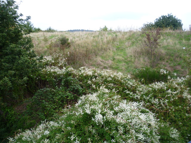
Image: © Marathon Taken: 3 Sep 2014
Seen from the bridge over the A40 (Western Avenue), this looks towards the embankment of the line, just across the A40 from South Greenford station - see http://www.geograph.org.uk/photo/4151901 The top of Horsenden Hill just appears above the embankment.
Images are licensed for reuse under creativecommons.org/licenses/by-sa/2.0
Image Location
Latitude
51.534927
Longitude
-0.337454