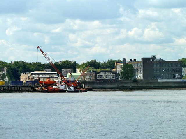
Former Henley's cable works, Northfleet, 2011
Introduction
The photograph on this page of Former Henley's cable works, Northfleet, 2011 by Robin Webster as part of the Geograph project.
The Geograph project started in 2005 with the aim of publishing, organising and preserving representative images for every square kilometre of Great Britain, Ireland and the Isle of Man.
There are currently over 7.5m images from over 14,400 individuals and you can help contribute to the project by visiting https://www.geograph.org.uk

Image: © Robin Webster Taken: 30 Jun 2011
The site west of Crete Hall Road is now totally demolished, with some features already gone in this view. The building showing 'Henley's' was originally the research laboratory. This is spelt out below - 'Cable Works Research Laboratory' - although the inscription (probably tiling) is defaced by three set of windows inserted some time later in the wall. The large building at the right was earlier a tyre works, so mapped up to 1954 - was it later part of the cable works? The vessels and crane are at Henley's Wharf.

