Derelict hangar, Yatesbury, another view
Introduction
The photograph on this page of Derelict hangar, Yatesbury, another view by Brian Robert Marshall as part of the Geograph project.
The Geograph project started in 2005 with the aim of publishing, organising and preserving representative images for every square kilometre of Great Britain, Ireland and the Isle of Man.

There are currently over 7.5m images from over 14,400 individuals and you can help contribute to the project by visiting https://www.geograph.org.uk
Derelict hangar, Yatesbury, another view
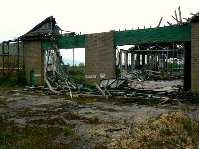
Image: © Brian Robert Marshall Taken: 27 Apr 2007
The signs on the remnants of this hangar state 'unsafe structure'. Would never have guessed.
Images are licensed for reuse under creativecommons.org/licenses/by-sa/2.0
Image Location
Latitude
51.441745
Longitude
-1.919235