Old A92 near Ardownie Farm
Introduction
The photograph on this page of Old A92 near Ardownie Farm by Douglas Nelson as part of the Geograph project.
The Geograph project started in 2005 with the aim of publishing, organising and preserving representative images for every square kilometre of Great Britain, Ireland and the Isle of Man.

There are currently over 7.5m images from over 14,400 individuals and you can help contribute to the project by visiting https://www.geograph.org.uk
Old A92 near Ardownie Farm
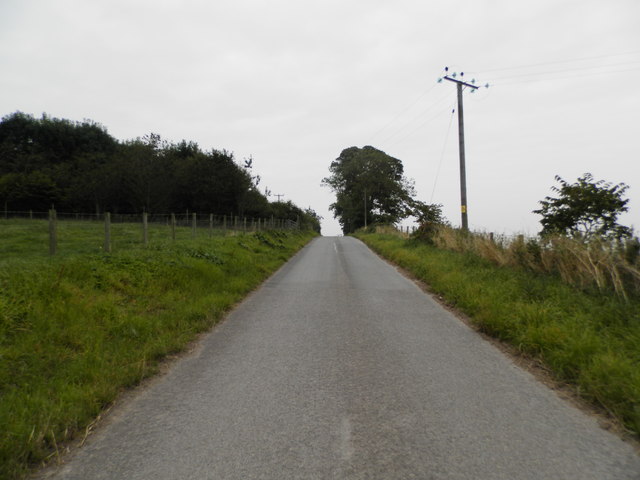
Image: © Douglas Nelson Taken: 4 Sep 2014
The A92 is a dual carriageway and is positioned to the east of the original road at this locus. This particular section of the old road is one way and traffic proceeds from either the farm or Ardownie Quarry towards the photographer position.
Images are licensed for reuse under creativecommons.org/licenses/by-sa/2.0
Image Location
Latitude
56.493614
Longitude
-2.827796