Ivor Street side of Ffaldau Primary School, Pontycymer
Introduction
The photograph on this page of Ivor Street side of Ffaldau Primary School, Pontycymer by Jaggery as part of the Geograph project.
The Geograph project started in 2005 with the aim of publishing, organising and preserving representative images for every square kilometre of Great Britain, Ireland and the Isle of Man.

There are currently over 7.5m images from over 14,400 individuals and you can help contribute to the project by visiting https://www.geograph.org.uk
Ivor Street side of Ffaldau Primary School, Pontycymer
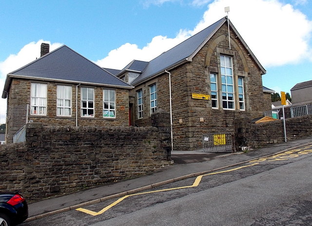
Image: © Jaggery Taken: 1 Sep 2014
Extending for about 35 metres along Ivor Street, this is the narrower southern edge of a rectangular school site extending north for 75 metres to Albany Road.
Images are licensed for reuse under creativecommons.org/licenses/by-sa/2.0
Image Location
Latitude
51.609689
Longitude
-3.58127