Birchinlee - explanation panel
Introduction
The photograph on this page of Birchinlee - explanation panel by Chris Morgan as part of the Geograph project.
The Geograph project started in 2005 with the aim of publishing, organising and preserving representative images for every square kilometre of Great Britain, Ireland and the Isle of Man.

There are currently over 7.5m images from over 14,400 individuals and you can help contribute to the project by visiting https://www.geograph.org.uk
Birchinlee - explanation panel
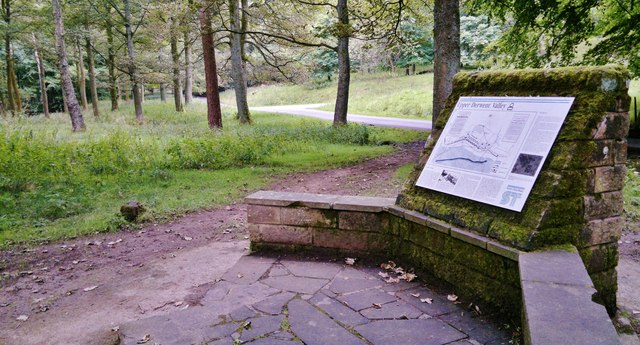
Image: © Chris Morgan Taken: 3 Sep 2014
Explaining the background and site plan of the temporary village of Birchinlee that existed for about 15 years during the construction of the two Upper Derwent dams 100 years ago.
Images are licensed for reuse under creativecommons.org/licenses/by-sa/2.0
Image Location
Latitude
53.421299
Longitude
-1.750778