Up towards the fire station, Pontycymer
Introduction
The photograph on this page of Up towards the fire station, Pontycymer by Jaggery as part of the Geograph project.
The Geograph project started in 2005 with the aim of publishing, organising and preserving representative images for every square kilometre of Great Britain, Ireland and the Isle of Man.

There are currently over 7.5m images from over 14,400 individuals and you can help contribute to the project by visiting https://www.geograph.org.uk
Up towards the fire station, Pontycymer
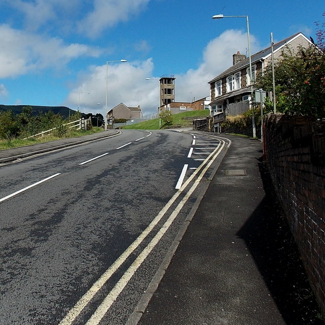
Image: © Jaggery Taken: 1 Sep 2014
The A4064 Victoria Street ascends from the corner of Waun Bant towards the fire station tower. http://www.geograph.org.uk/photo/4149793
Images are licensed for reuse under creativecommons.org/licenses/by-sa/2.0
Image Location
Latitude
51.61306
Longitude
-3.584709