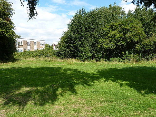
Kents Moat
Introduction
The photograph on this page of Kents Moat by Richard Law as part of the Geograph project.
The Geograph project started in 2005 with the aim of publishing, organising and preserving representative images for every square kilometre of Great Britain, Ireland and the Isle of Man.
There are currently over 7.5m images from over 14,400 individuals and you can help contribute to the project by visiting https://www.geograph.org.uk

Image: © Richard Law Taken: 29 Jul 2014
Or, more properly, Kempes Moat. This is all that remains of the site of a medieval manor house in the middle of the 1930s Garretts Green housing estate. It represents the location of a settlement occupied between the 12th and 15th centuries, apparently in some style and opulence at times, and last owned by John & Marion Kemp who lived here in the 15th century. Although no water remains in the moat, its size and shape can be made out quite clearly on the ground as a ditch roughly 15-20 feet across, and several feet deep, with trees now growing in it. The flats in the background lie within the moated enclosure, and were built in the 1960s (a time when precious little regard was paid to many historic and ancient sites, and the planning laws were rather less stringent than they are these days.)
Image Location


