Constitution Hill A1035 approaching Molescroft
Introduction
The photograph on this page of Constitution Hill A1035 approaching Molescroft by Martin Dawes as part of the Geograph project.
The Geograph project started in 2005 with the aim of publishing, organising and preserving representative images for every square kilometre of Great Britain, Ireland and the Isle of Man.

There are currently over 7.5m images from over 14,400 individuals and you can help contribute to the project by visiting https://www.geograph.org.uk
Constitution Hill A1035 approaching Molescroft
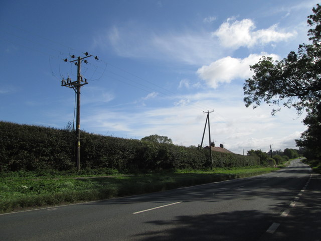
Image: © Martin Dawes Taken: 30 Aug 2014
Just passed the cottages on the left, the road in the bottom of the dip is prone to flooding, heavy rain you drive through water.
Images are licensed for reuse under creativecommons.org/licenses/by-sa/2.0
Image Location
Latitude
53.85433
Longitude
-0.45856