NW near Culworth, towards Eydon
Introduction
The photograph on this page of NW near Culworth, towards Eydon by Ben Brooksbank as part of the Geograph project.
The Geograph project started in 2005 with the aim of publishing, organising and preserving representative images for every square kilometre of Great Britain, Ireland and the Isle of Man.

There are currently over 7.5m images from over 14,400 individuals and you can help contribute to the project by visiting https://www.geograph.org.uk
NW near Culworth, towards Eydon
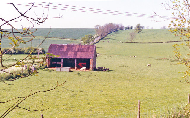
Image: © Ben Brooksbank Taken: 17 May 1992
View in deepest Northamptonshire west of Culworth towards Eydon, from a bridge over the former railway line from Banbury to Woodford Halse, which although an important North-South link between the ex-GCR and the ex-GWR was closed in 9/66 along with the ex-GCR main line.
Images are licensed for reuse under creativecommons.org/licenses/by-sa/2.0
Image Location
Latitude
52.121855
Longitude
-1.215618