Southern edge of Blaengarw
Introduction
The photograph on this page of Southern edge of Blaengarw by Jaggery as part of the Geograph project.
The Geograph project started in 2005 with the aim of publishing, organising and preserving representative images for every square kilometre of Great Britain, Ireland and the Isle of Man.

There are currently over 7.5m images from over 14,400 individuals and you can help contribute to the project by visiting https://www.geograph.org.uk
Southern edge of Blaengarw
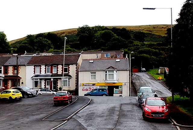
Image: © Jaggery Taken: 1 Sep 2014
Looking up from the access road to Ffaldau Industrial Estate. The shop is at the southern edge of Blaengarw. The Pontycymer boundary sign http://www.geograph.org.uk/photo/4120170 is behind the trees on the right.
Images are licensed for reuse under creativecommons.org/licenses/by-sa/2.0
Image Location
Latitude
51.617882
Longitude
-3.587189