River Stour near the Bull Ring, Kidderminster
Introduction
The photograph on this page of River Stour near the Bull Ring, Kidderminster by P L Chadwick as part of the Geograph project.
The Geograph project started in 2005 with the aim of publishing, organising and preserving representative images for every square kilometre of Great Britain, Ireland and the Isle of Man.

There are currently over 7.5m images from over 14,400 individuals and you can help contribute to the project by visiting https://www.geograph.org.uk
River Stour near the Bull Ring, Kidderminster
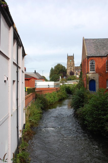
Image: © P L Chadwick Taken: 30 Aug 2014
In the far distance is the tower of St. Mary & All Saints Parish Church. Image
Images are licensed for reuse under creativecommons.org/licenses/by-sa/2.0
Image Location


Leaflet Map data © OpenStreetMap
Latitude
52.3886
Longitude
-2.250483