East side, Nether Hall
Introduction
The photograph on this page of East side, Nether Hall by Christine Johnstone as part of the Geograph project.
The Geograph project started in 2005 with the aim of publishing, organising and preserving representative images for every square kilometre of Great Britain, Ireland and the Isle of Man.

There are currently over 7.5m images from over 14,400 individuals and you can help contribute to the project by visiting https://www.geograph.org.uk
East side, Nether Hall
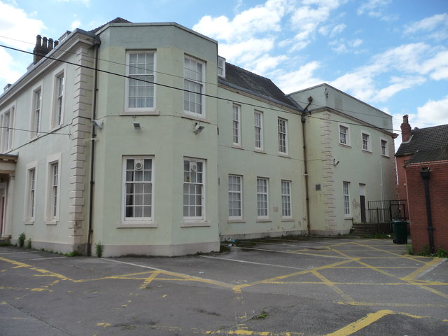
Image: © Christine Johnstone Taken: 1 Sep 2014
Grade 2 listed building. Built in the early or mid 1700s and later altered. A First World War Drill Hall. Now used by Doncaster Council as offices.
Images are licensed for reuse under creativecommons.org/licenses/by-sa/2.0
Image Location
Latitude
53.525892
Longitude
-1.129285