Forge Mill Lake
Introduction
The photograph on this page of Forge Mill Lake by Bill Payer as part of the Geograph project.
The Geograph project started in 2005 with the aim of publishing, organising and preserving representative images for every square kilometre of Great Britain, Ireland and the Isle of Man.

There are currently over 7.5m images from over 14,400 individuals and you can help contribute to the project by visiting https://www.geograph.org.uk
Forge Mill Lake
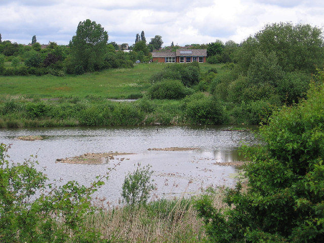
Image: © Bill Payer Taken: 22 Aug 2005
This is a balancing lake to prevent flooding by the River Tame. This part of the lake is a RSPB reserve and the building is a study and observation centre.
Images are licensed for reuse under creativecommons.org/licenses/by-sa/2.0
Image Location


Leaflet Map data © OpenStreetMap
Latitude
52.530358
Longitude
-1.949837