South West Coast Path
Introduction
The photograph on this page of South West Coast Path by Guy Wareham as part of the Geograph project.
The Geograph project started in 2005 with the aim of publishing, organising and preserving representative images for every square kilometre of Great Britain, Ireland and the Isle of Man.

There are currently over 7.5m images from over 14,400 individuals and you can help contribute to the project by visiting https://www.geograph.org.uk
South West Coast Path
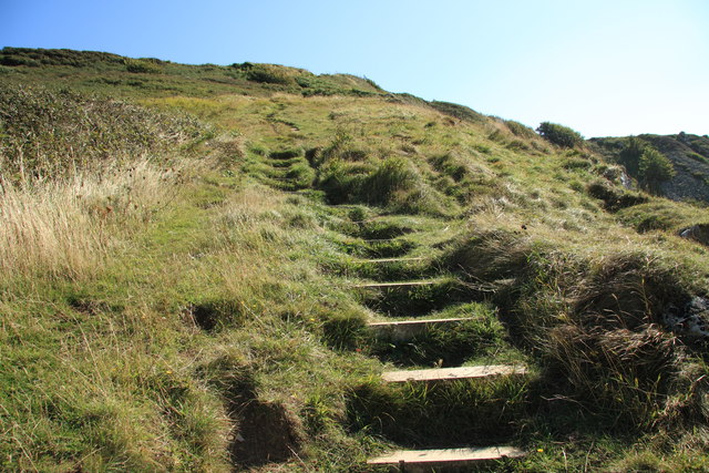
Image: © Guy Wareham Taken: 31 Aug 2014
Having climbed up from Chesil Cove the path is nearing the top of West Cliff.
Images are licensed for reuse under creativecommons.org/licenses/by-sa/2.0
Image Location
Latitude
50.556177
Longitude
-2.444618