Cavern Road, Brixham
Introduction
The photograph on this page of Cavern Road, Brixham by Derek Harper as part of the Geograph project.
The Geograph project started in 2005 with the aim of publishing, organising and preserving representative images for every square kilometre of Great Britain, Ireland and the Isle of Man.

There are currently over 7.5m images from over 14,400 individuals and you can help contribute to the project by visiting https://www.geograph.org.uk
Cavern Road, Brixham
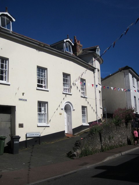
Image: © Derek Harper Taken: 12 Jun 2014
A narrow lane climbing up from Bolton Street. The listed building on the left is described at http://list.english-heritage.org.uk/resultsingle.aspx?uid=1195179&searchtype=mapsearch ; on the right, Thor House, at http://list.english-heritage.org.uk/resultsingle.aspx?uid=1298276&searchtype=mapsearch .
Images are licensed for reuse under creativecommons.org/licenses/by-sa/2.0
Image Location
Latitude
50.393368
Longitude
-3.515679