Lyte House, Brixham
Introduction
The photograph on this page of Lyte House, Brixham by Derek Harper as part of the Geograph project.
The Geograph project started in 2005 with the aim of publishing, organising and preserving representative images for every square kilometre of Great Britain, Ireland and the Isle of Man.

There are currently over 7.5m images from over 14,400 individuals and you can help contribute to the project by visiting https://www.geograph.org.uk
Lyte House, Brixham
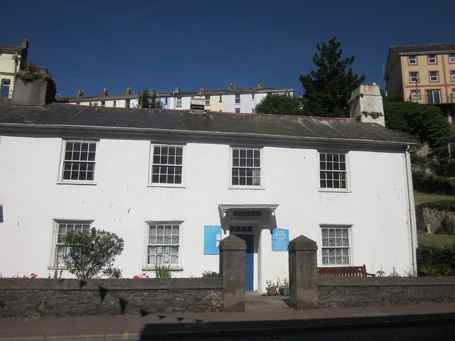
Image: © Derek Harper Taken: 12 Jun 2014
Lyte House community rooms are listed as a church house - see http://list.english-heritage.org.uk/resultsingle.aspx?uid=1195169&searchtype=mapsearch , which also describes the adjoining cottage next door. "Probably early C18 with minor early C19 alterations ... low stone rubble garden wall with rendered chamfered coping; ... rendered piers with pyramidal caps." See also Image
Images are licensed for reuse under creativecommons.org/licenses/by-sa/2.0
Image Location
Latitude
50.393012
Longitude
-3.515386