Puckleside
Introduction
The photograph on this page of Puckleside by William Metcalfe as part of the Geograph project.
The Geograph project started in 2005 with the aim of publishing, organising and preserving representative images for every square kilometre of Great Britain, Ireland and the Isle of Man.

There are currently over 7.5m images from over 14,400 individuals and you can help contribute to the project by visiting https://www.geograph.org.uk
Puckleside
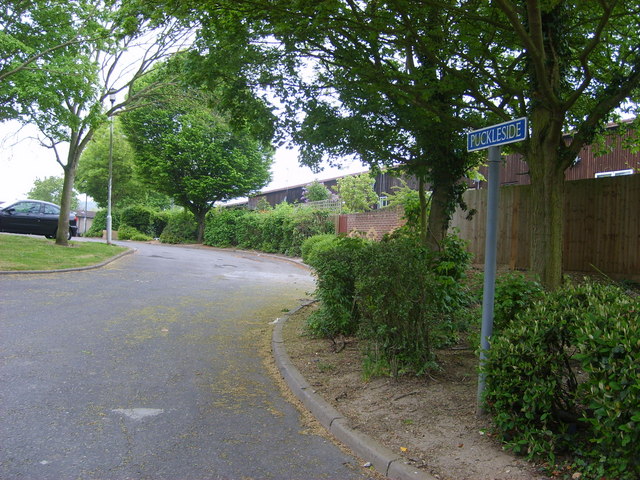
Image: © William Metcalfe Taken: 27 Apr 2007
A street named after a 19th century farmer, Puckle, who left money for the first school in Langdon Hills.
Images are licensed for reuse under creativecommons.org/licenses/by-sa/2.0
Image Location
Latitude
51.563096
Longitude
0.425237