Rhyd Afon Dulais River Ford
Introduction
The photograph on this page of Rhyd Afon Dulais River Ford by Alan Richards as part of the Geograph project.
The Geograph project started in 2005 with the aim of publishing, organising and preserving representative images for every square kilometre of Great Britain, Ireland and the Isle of Man.

There are currently over 7.5m images from over 14,400 individuals and you can help contribute to the project by visiting https://www.geograph.org.uk
Rhyd Afon Dulais River Ford
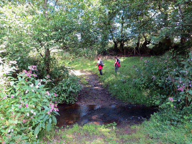
Image: © Alan Richards Taken: 31 Aug 2014
Hen heol sy'n rhydio Afon Dulais ger Ffarm y Gors. Mae'r ffordd bellach wedi ei hisraddio i lwybr cyhoeddus. An old road fording the Dulais River (trans. black water) near Gors Farm (trans. bog / fen ). The road has long been downgraded to a footpath.
Images are licensed for reuse under creativecommons.org/licenses/by-sa/2.0
Image Location
Latitude
51.801243
Longitude
-4.156514