Weston, community centre
Introduction
The photograph on this page of Weston, community centre by Mike Faherty as part of the Geograph project.
The Geograph project started in 2005 with the aim of publishing, organising and preserving representative images for every square kilometre of Great Britain, Ireland and the Isle of Man.

There are currently over 7.5m images from over 14,400 individuals and you can help contribute to the project by visiting https://www.geograph.org.uk
Weston, community centre
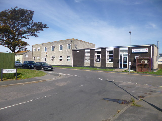
Image: © Mike Faherty Taken: 30 Aug 2014
Westcliff Community Centre and Kimberlin Club, at the corner of Grangecroft and Blacknor Roads.
Images are licensed for reuse under creativecommons.org/licenses/by-sa/2.0
Image Location
Latitude
50.541407
Longitude
-2.450265