The Soldierstown Bridge, Moira/Aghalee (August 2014)
Introduction
The photograph on this page of The Soldierstown Bridge, Moira/Aghalee (August 2014) by Albert Bridge as part of the Geograph project.
The Geograph project started in 2005 with the aim of publishing, organising and preserving representative images for every square kilometre of Great Britain, Ireland and the Isle of Man.

There are currently over 7.5m images from over 14,400 individuals and you can help contribute to the project by visiting https://www.geograph.org.uk
The Soldierstown Bridge, Moira/Aghalee (August 2014)
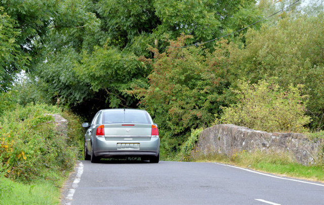
Image: © Albert Bridge Taken: 30 Aug 2014
See Image (July 2007) and Image (May 2013). The narrow hump bridge, carrying the Soldierstown Road across the disused Lagan canal, seen from the eastern side. The car shows that the bridge can only accommodate one vehicle at any one time.
Images are licensed for reuse under creativecommons.org/licenses/by-sa/2.0
Image Location
Latitude
54.500514
Longitude
-6.227204