Flooded farm building alongside the Ballyhornan Road
Introduction
The photograph on this page of Flooded farm building alongside the Ballyhornan Road by Eric Jones as part of the Geograph project.
The Geograph project started in 2005 with the aim of publishing, organising and preserving representative images for every square kilometre of Great Britain, Ireland and the Isle of Man.

There are currently over 7.5m images from over 14,400 individuals and you can help contribute to the project by visiting https://www.geograph.org.uk
Flooded farm building alongside the Ballyhornan Road
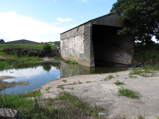
Image: © Eric Jones Taken: 18 Aug 2014
This building and concrete slab used to be a storage area for hay bales.
Images are licensed for reuse under creativecommons.org/licenses/by-sa/2.0
Image Location
Latitude
54.313444
Longitude
-5.625922